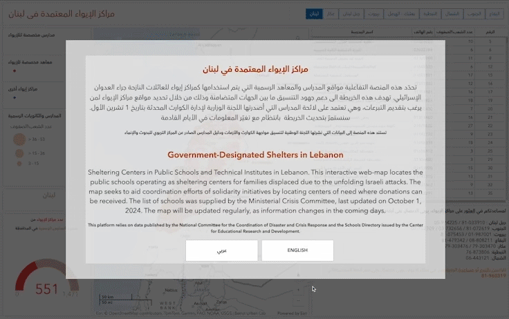
Government-Designated Shelters in Lebanon
×
This web-map locates the public schools and technical institutes operating as sheltering centers for families displaced due to the unfolding Israeli attacks. The map seeks to aid coordination efforts of solidarity initiatives by locating centers of need where donations can be received. The list of schools was supplied by the Ministerial Crisis Committee, last updated on October 1, 2024. The map will be updated regularly, as information changes in the coming days.
You can access the platform here.