Beirut Built Environment Database

Responding to the lack of
accessible raw data about the built environment in Lebanon’s capital city, the Beirut
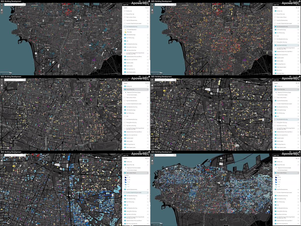
Built Environment database brings together a collection of maps, documents, and
surveyed indicators about actors (e.g., builder, developer, landowner) as well
as spatial (e.g., vacancy, floors, parking) and environmental characteristics
(e.g., water, greenery, infrastructure lines) that can inform ongoing research,
public policymaking, and advocacy about the city. Aside from providing a shared
base of information for/about Beirut, the database serves as a basis for
ongoing theorization of urban transformation, including the rising rates of vacancy,
forced evictions, developers’ trajectories, environmental justice, and more
aspects of the actually existing financialization of land and its impacts on everyday
life in the city. The platform invites researchers, professionals, and activists who are
interested in investigations of the city's built environment to rely on its
layers as a basis for more advanced explorations of urban trends. Our aim is to
provide an easy-to-share, free to download document as a strategy to generate
collaborations, partnerships, and most importantly discussions about the rapid
transformations of the city and their visualization.
The Creation of a Base Map
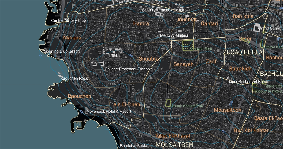
In the absence of a reliable map for Municipal Beirut, the first task for the Built Environment Database’s team was the development of an accurate base map that includes georeferenced cadastral and building footprint indicators, as well as streets and main landmarks. To this end, the team consolidated existing city maps available to private offices and public agencies into a single document. All imperfections were verified through direct documentation with the Public Land Agency and/or direct surveys on the ground and up to date aerial photography. This work was conducted in collaboration with the National Council for Scientific Research (CNRS). The final base map includes building footprints, property boundaries, roads, sewer networks, and Electricité du Liban’s official neighborhood divisions. The map will be updated regularly and layers will be added as research and data gathering progress.

An In-depth Look at Beirut’s Built Environment
Based on data obtained from the
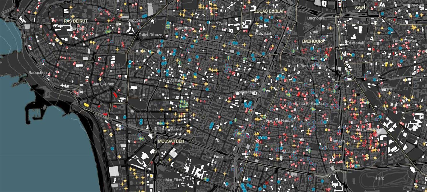
Order of Engineers and Architects in Beirut, we surveyed 2,692 sites in Beirut,
lots where building permits had been filed in the 1996-2018 period. Additional information was gathered
for the 1,634 residential developments identified on-site. Data collected
includes social, physical, and environmental attributes for each of these
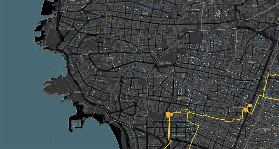
buildings. We also gathered additional data on vacant lots and open spaces, as
a prelude for the investigation of potential common spaces benefiting city
dwellers.


E.jpg)
E.jpg)
