Levant Carta | Beirut

Levant Carta | Beirut is an online mapping tool that is currently being developed as a collaborative project between the Beirut Urban Lab and the Humanities Research Center at Rice University in Houston, Texas. Levant Carta | Beirut tracks urban evolution, archives social and urban histories, and crosses them with maps and media. In the process, it creates a comprehensive urban archive of Beirut, the first and only one of its kind.
×
Historical Mapping
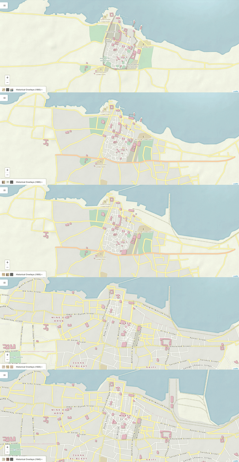
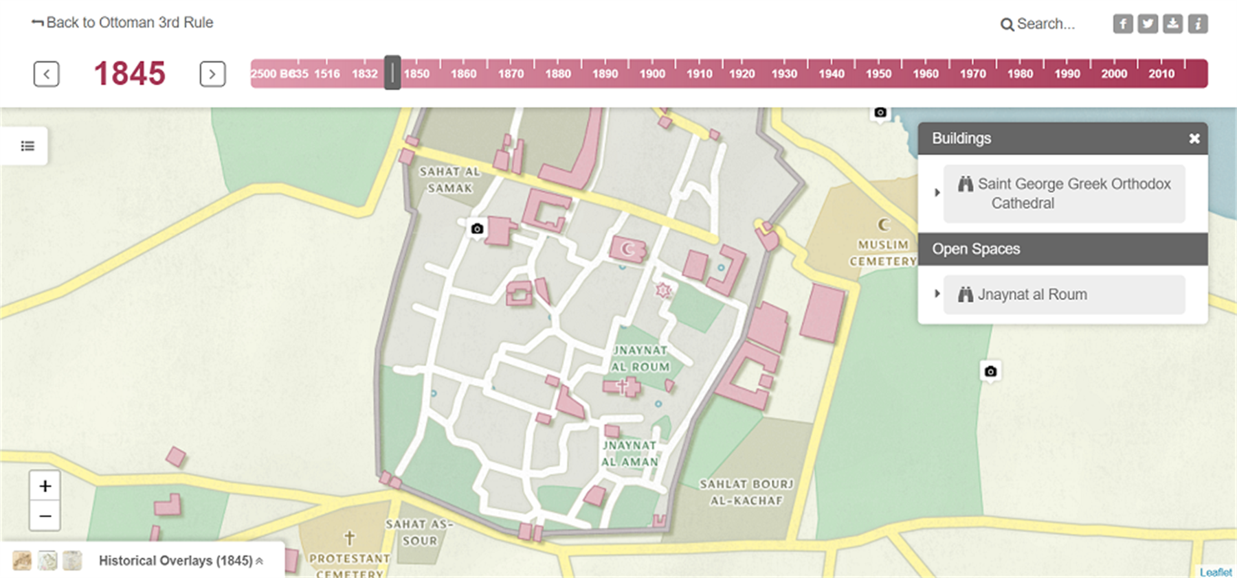
LevantCarta | Beirut integrates primary sources, such as views of the city, historical maps, archeological surveys, and architectural projects and locates them in time and space. It integrates the visual and geographic data associated with these sources across multiple databases (including an open-access digital library of images, a geographic information system, an open source relational database, and a content delivery web service). The relationship between the various project elements produce a web environment where qualitative and quantitative data are simultaneously loaded from an API, rendered across platforms, customized in many views, and probed by users in a system that supports multiple and interconnected expressions of diverse data sources. In light of ongoing sectarian pressures, such a map will underscore the Levant's extraordinary history of coexistence and will allow historians to visualize, temporally and spatially, specific sites of inquiry, be they neighborhoods, parks, buildings, streets, and/or geographic features. Scaled down into a mobile app, it allows tourists and residents to walk about town while visualizing the city as it once was as well as it was once projected. Beirut's urban history is particularly well suited to being captured in such a diachronic web map environment considering how often both its urban fabric and self-representation have changed.
×

