Contesting Hard-Line Boundaries: Towards a Reconceptualization of Beirut’s Neighborhoods
Ahmad Gharbieh
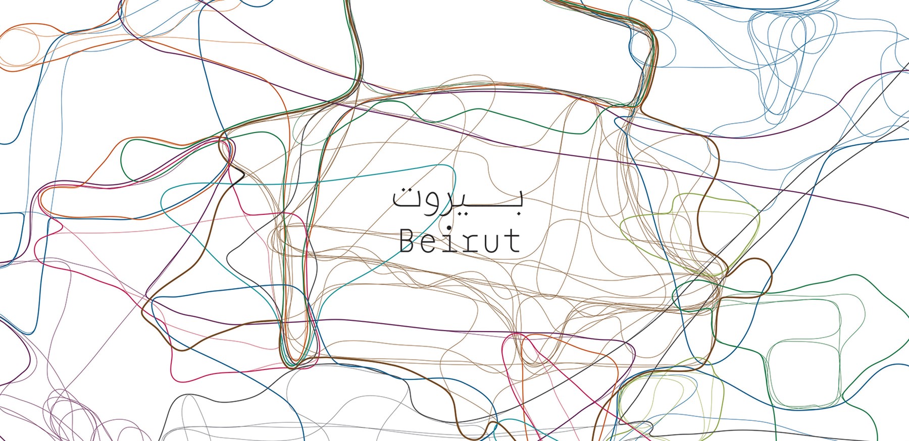
In this essay published in APSA (American Political Science Association) MENA Politics Newsletter, Ahmad Gharbieh reflects on the role practice plays in the delineation of neighborhoods and the defining of urban boundaries by examining how different areas of Beirut are lived/perceived and how such socio-spatialities could be represented across digital visualization tools. The official division of Municipal Beirut into quarters and districts is traced back to 1973 and discussed as being guided by an interest in public service management and roughly informed by the city’s physical geographic and infrastructural features of the time. These divisions have mostly lingered as the default neighborhoods of Beirut in cartographic representations until today, despite them being at odds with the mental maps, practices, and popular designations/appellations of different areas in Beirut by city dwellers. This discord is examined in the context of our work on the Beirut Built Environment Database at Beirut Urban Lab, as well as other mapping projects that propose alternative approaches to dividing the city such as islands of security, territories of sectarian political governance, and the practices of food delivery drivers. The advantages of standardization within GIS mapping work are weighed against the perpetuation of imposed boundaries and the consequent erasure of certain realities by the map’s technical authority and its preoccupation with accuracy and objective truth.
You can read the full text by accessing the APSA MENA Politics Newsletter, Volume 4, Issue 1 here.
You can read the full text by accessing the APSA MENA Politics Newsletter, Volume 4, Issue 1 here.
×